火山研究情報 トップへ
浅間山火山情報 トップへ
2004年噴火の概要 のページへ
Back to the top page (English page)
現地状況 9月2-3日 (噴火翌日・翌々日)
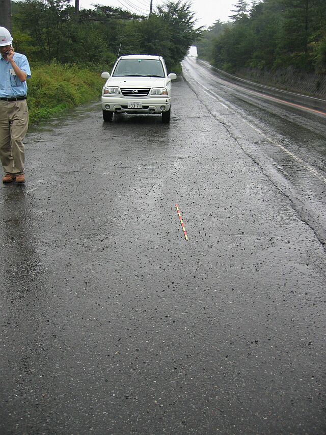 国道146号線路上の降礫の状況。群馬・長野県境から500mほど北。9月2日。
Lapilli on the road surface (R146). NE flank ca. 5km from the summit crater.
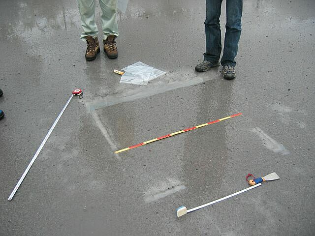 降灰の状況。9月2日。北軽井沢。噴出物の定量調査のため、1m四方に区切って堆積物を採取しその重量を測定する。
Ash fall deposit ca 5 km from the summit. Collecting the tephra sample from 1*1 m square for quantitative analysis. September 2nd.
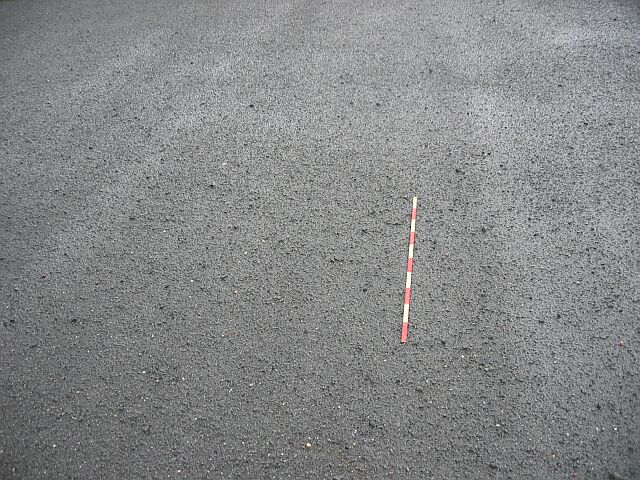 黒豆河原駐車場付近 (火口から約4km) の降礫状況。9月2日。舗装がほとんど火山礫でおおわれている。
Lapilli covers the pavement at 4km from the summit. September 2nd.
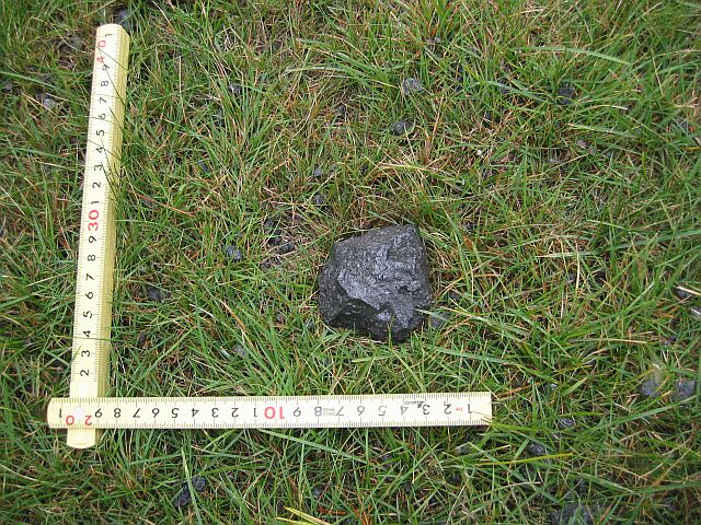
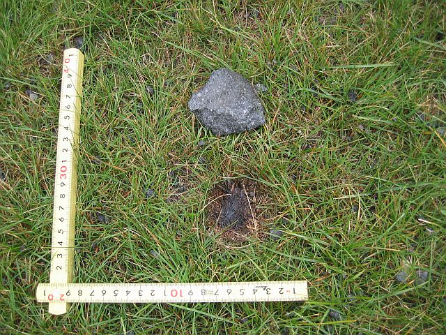
黒豆河原付近の火山礫の着地状況。右は火山礫をひっくり返したところ。下敷きになった草が焦げている。東大地震研吉本氏発見。
Bomb fall on the NE flank ca 4km from the summit. Glass beneath the bomb was scorched. September 2nd. (by M.Yoshimoto ERI Univ.Tokyo)
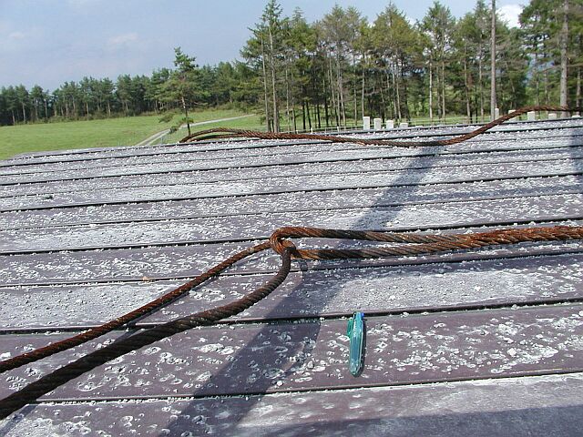
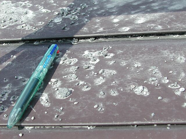
浅間牧場 (火口から5-6km) の降礫状況。9月3日。細粒の火山灰は噴火当日から翌日に降った雨のためほとんど流されてしまって礫だけが残っている。
Lapilli on roof boad ca 5-6km from the summit. Fine ash was washed out by rain after the eruption. September 3rd.
(写真 : 石塚吉浩撮影 : All the photos are taken by Y Ishizuka, GSJ)
災害と緊急調査
- 地震・津波研究情報
- 火山研究情報
- 土砂災害研究情報
- その他の地質災害研究情報