火山研究情報 トップへ
浅間山火山の噴火情報 トップへ
浅間山火山2004年の噴火情報 トップへ
航空機観測 のページへ
Back to the top page (English page)
山頂調査 (ヘリ) Summit survey
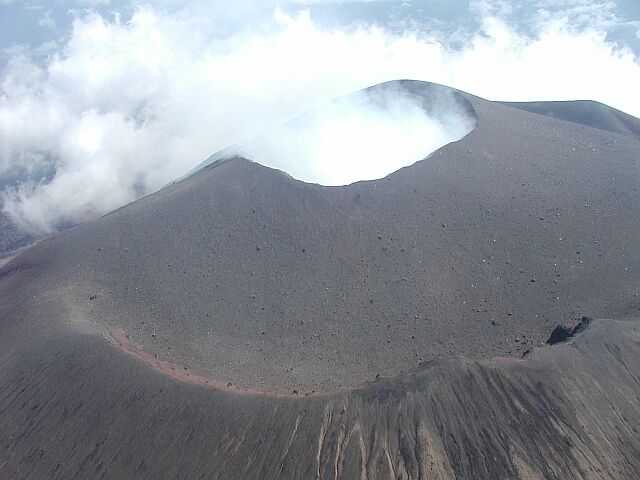
9月3日朝 (噴火2日後) の山頂火口付近の状況。火口西側からみる。群馬県防災ヘリより星住撮影
火口縁から右側にむかって、火山灰におおわれているが踏み跡とおもわれる筋状のものが確認できる。
Summit crater in the morning of September 3rd, two days after the eruption. From west. A trail covered by tephra is stil recognized from the crater rim (this side) to right. By H.Hoshizumi GSJ
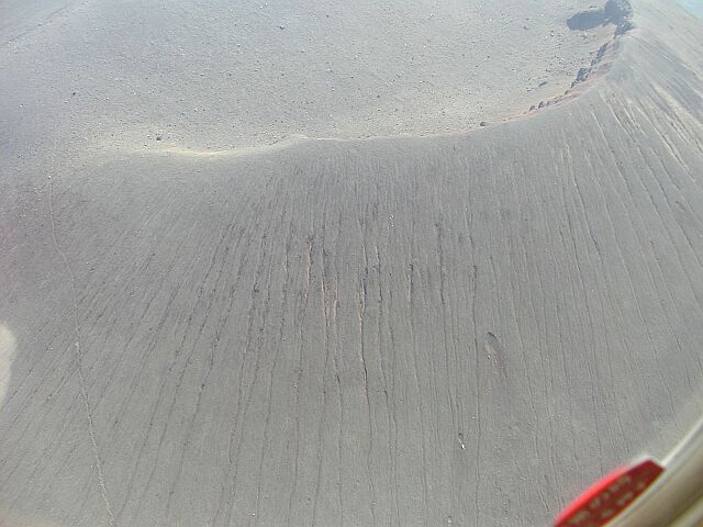
9月3日朝 (噴火2日後) の山頂火口付近の状況その2。前掛山西側斜面。群馬県防災ヘリより星住撮影
中央やや右下に大きな衝突クレータが二つ見える。左側には登山道がはっきりと確認できる。
Western flank of the central cone (Maekake-Yama) ca 1km from the crater. Two big craters are recognized in center right. Previous trail is clearly recognized in left side.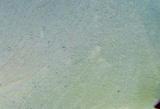
前掛山北西山腹にみられる衝突クレータ。群馬県防災ヘリより星住撮影
Craters on the NW flank.
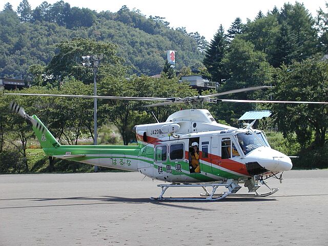
調査に使用させていただいた群馬県防災ヘリ
(all the photos are taken by H.Hoshizumi GSJ)
災害と緊急調査
- 地震・津波研究情報
- 火山研究情報
- 土砂災害研究情報
- その他の地質災害研究情報