Active Fault and Paleoearthquake Researches No. 7 (2007)
Cover |
Back cover |
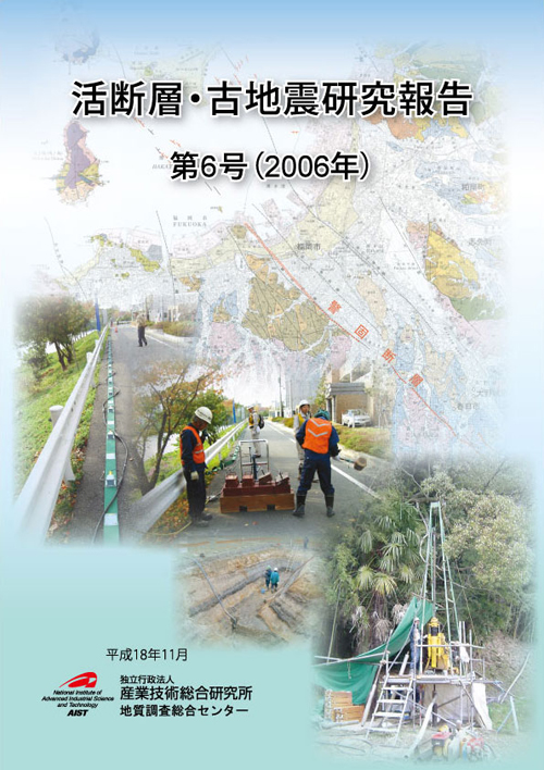
Cover figure
Geophysical Surveys along the Kego fault, Fukuoka Prefecture.
The 2005 Fukuoka-ken Seiho-oki earthquake (Mj 7.0) occurred in Genkai-nada with its source area extending in roughly NW-SE direction; along its southern continuation, the Kego fault system extends from Hakata Bay through Fukuoka City toward Chikushino City with a total length of 22 km. It was pointed out by AIST (see website of Active Fault Research Center) that the probability of future earthquake on the Kego fault increased as a result of the 2005 earthquake. Geological Survey of Japan (GSJ) conducted a paleoseismological survey by trench excavation and geophysical surveys. This volume contains a report of very shallow seismic reflection survey using P and S waves (Kano et al., pages 142-152) and a report on stress orientation measurements (Kiguchi and Kuwahara, pages 153-161) along the Kego fault. The background is 1:50,000 geological map “Fukuoka” (Karakida et al., 1994) published by GSJ.
Geological Survey of Japan, AIST
- About GSJ
- Our Activities
- Purchase guide
- Publications and Database
- Geological Hazards
- Learning and Education
- GSJ Database Collection
- Collection of links