Visualizing health risk of harmful heavy metals in soil in Shikoku Region
-“Geochemical and risk assessment map of subsurface soils of Shikoku region” has been published online-
Summary of AIST Press Release Mar. 30, 2021
>>Japanese
The Geological Survey of Japan has published the “Geochemical and risk assessment map of subsurface soils of Shikoku region” on its website (in Japanese, URL:https://www.gsj.jp/Map/JP/soils_assessment.html) based on the research and surveys on the distribution characteristics of naturally occurring heavy metals and human health risk assessment of harmful elements in soil.
In Japan, naturally occurring hazardous elements are subject to regulations as well as artificial contaminants from the aspect of infrastructure development and natural disaster risk management. The map provides useful basic information in estimating the concentration of poisonous elements in waste earth or landslide debris and assessing their negative impact on human health. It is expected to be useful to keep our society healthy as one of the user-friendly risk communication tools that anyone can use.
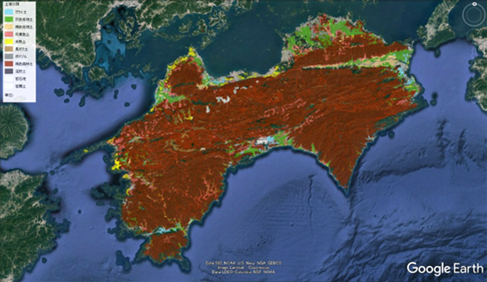
Fig. 1. Geochemical and risk assessment map of subsurface soils of Shikoku region shown on Google Earth.