Geological map filled with important history of the South Fossa Magna
- “Minobu”, 1:50,000 Quadrangle Geological Map -
Summary of the AIST Press Release on October 29, 2018
>>Japanese
The Geological Survey of Japan (GSJ) has published the 1:50,000 Geological Map of "Minobu", compiled by Masanori Ozaki (Research Institute of Geology and Geoinformation) and Yuichi Sugiyama (Emeritus Researcher, Research Institute of Earthquake and Volcano Geology).
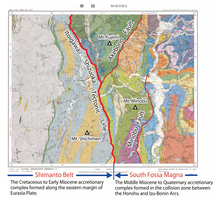
Fig. 1. 1:50,000 Geological Map of “Minobu”. Red lines indicate the locations of major faults in the area
(Itoigawa-Shizuoka Tectonic line, Akebono Fault, and Minobu Fault).
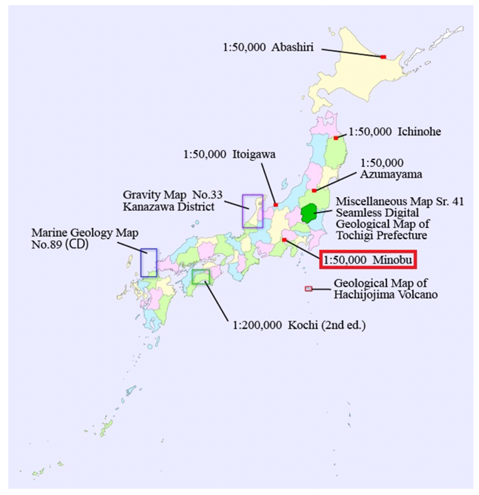
Fig. 2. New publications by GSJ in 2018 FY
The Japanese archipelago has been formed at the tectonic plate boundary over a hundred million years, and in the Minobu area, lies to the west of Mt. Fuji, almost all its history is recorded in its rocks and strata. It is a key area to understand the formation process of the archipelago.
The Itoigawa-Shizuoka Tectonic Line, the major tectonic line geologically dividing Japan into northeast and southwest, runs through the middle of the area from north to south. This tectonic line is also the boundary between the Shimanto Belt on the west side and the Fossa Magna on the east side in this area. In both regions, different accretionary complexes with different tectonic settings are distributed. The area is at the north end of the assumed focal region of the Tokai Earthquake and belongs to a tectonically active subduction zone.
The local geoinformation is very important from the viewpoint of disaster mitigation. The outcome is expected to be useful in prediction of earthquake damage, disaster mitigation, geotourism, and others.
The map is available from commission agents. For details, see the URL below.