Gravity Maps
-See the Underground by Gravity Difference-
Last Updated: April 13, 2021
The distribution of gravity on the surface of the ground is an extremely important clue for detecting the heterogeneity of underground densities. The Geological Survey of Japan has constructed a national gravity database of the highest global standards by collecting and compiling gravity data all over Japan for many years. Not only it is the largest gravity database in Japan with more than 470,000 land data and 1,240,000 marine data, but also its accuracy and regular arrangement of measurement stations meet the highest world standards. The database is available to the public on DVD and is widely used as a source of basic Japanese earth science data. The Geological Survey of Japan also publishes the Gravity Map series and their digital version via the Internet (GALILEO).
The latest gravity database
The Geological Survey of Japan is using the above Gravity Database as a basis for running the gravity map project, in which further gravity measurements are being taken for areas in which there are comparatively fewer data. The results are published as the Gravity Map Series following high-precision correction and other procedures.
A total of 33 quadrangle gravity maps have now been published at 1:200,000 scale. The new gravity data collected for compilation of the Gravity Map Series are consecutively reflected in the Gravity Database to ensure that it is always up to date. The Gravity Map Series and the Gravity Database used to compile the maps are basic information used in many fields, including resource exploration and the analysis of underground structures to prevent disasters.
Link:
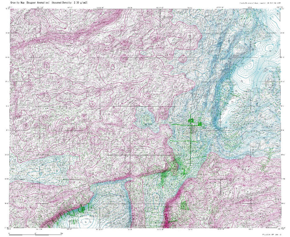
Gravity map of the Kyoto and Osaka areas. Sharp gravity changes are obvious along faults
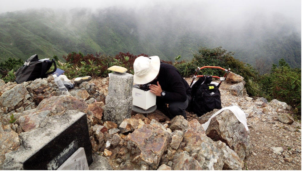
Gravity measurement on a mountain summit