Geoinformation Database and GeomapNavi
Last Updated: April 13, 2021
Geoinformation Service Center maintain web database which distribute our research outcome. In consideration of users’ conveniences, open license is adopted for the database.
Also, international standardization in the field of digital geographic information is employed for the database to provide an environment which enables to integrate usage with other geo-data maintained by other organization. Some database works on smart phones or off-line basis as well.
GSJ provides not only its database but also a geology information display system named “GeomapNavi”, for the purpose of increasing practical use of geology information. Our research outcome and other geo-data maintained by other organization can overlay on this system. “GeomapNavi” works on PC and tablets and so on.
Link:
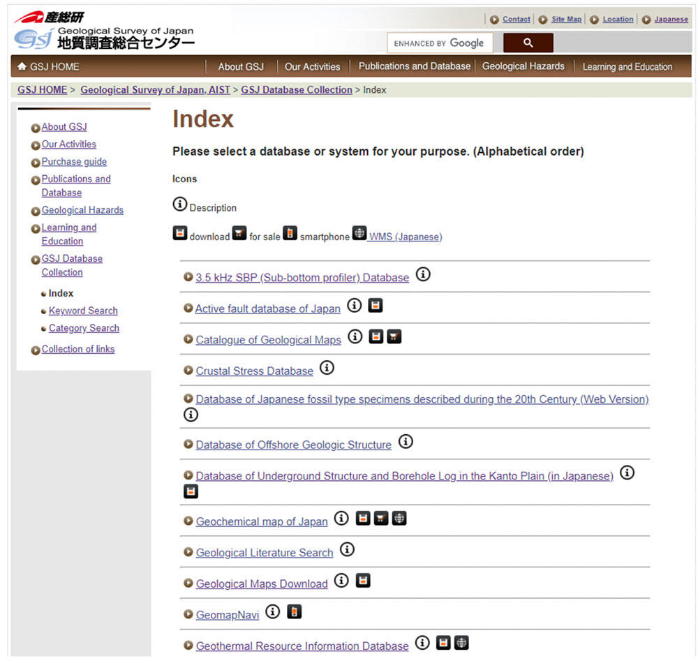
The contents page the of the GSJ Database Collection
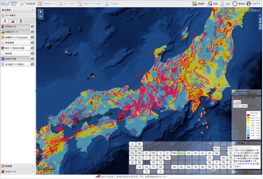
A screenshot of the GeomapNavi showing the distribution of active faults and Quaternary volcanoes on the Geochemical Map of Japan.
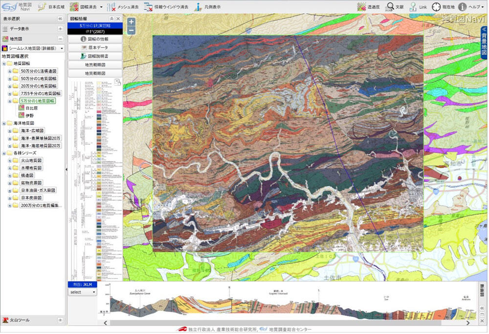
Another screenshot of the GeomapNavi showing one of the 1:50,000 Quadrangle geological maps with a cross-section.