The history how Japan Sea was formed
-“Wajima”, 1:200,000 Quadrangle Geological Map (second edition) -
Summary of AIST Press Release August 23, 2019
>>Japanese
The Geological Survey of Japan (GSJ), AIST has published the second edition of the 1:200,000 Geological Map of "Wajima" (Masanori Ozaki and Takahiko Inoue, Research Institute of Geology and Geoinformation) completely revising its first edition of 1962.
In the northern Noto Peninsula and adjacent sea areas, the 30 million years of tectonic history including the formation of Japan Sea has been recorded. On the other hand, active faults that caused the large earthquakes in 1993 and 2007 are distributed along the northern coast of the Peninsula. The geological information of the area is important from the viewpoint both of scientific research and of disaster mitigation. The map provides seamless geological information from land to sea and clearly shows the distribution of the active faults, which has not been determined before.
The results obtained in the study will also be reflected in the 1:200,000 Seamless Digital Geological Map of Japan published on the website of GSJ. The survey to revise the 1:200,000 Geological Map of “Nanao and Toyama”, the southern area of Wajima, is currently being conducted.
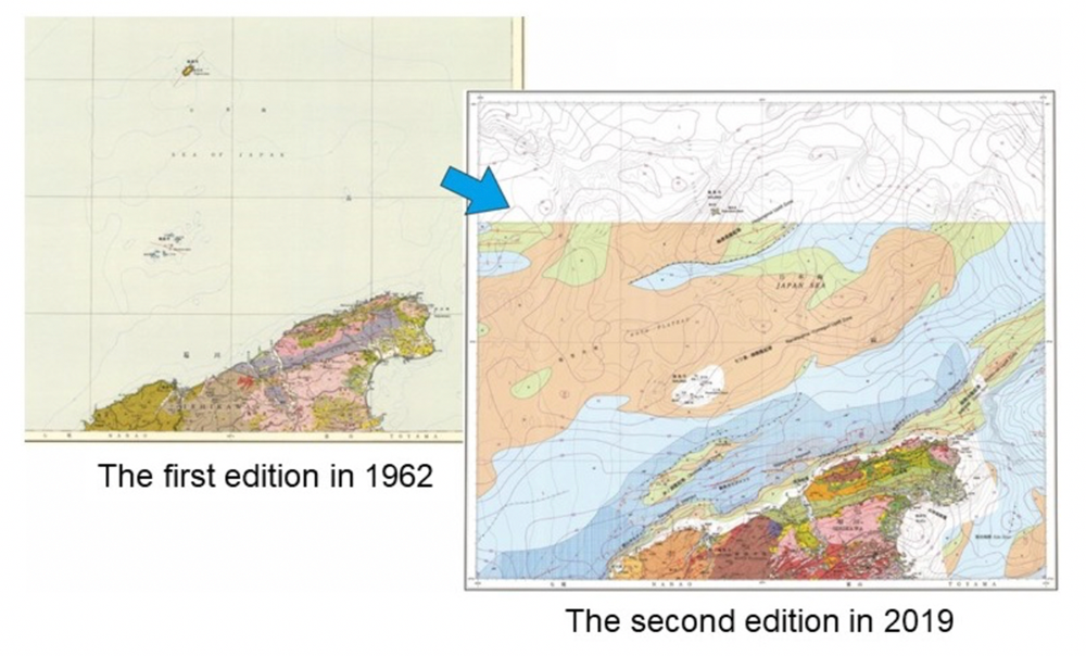
Fig. 1. 1:200,000 Geological Map of “Wajima”: the first (left) and second (right) editions.
The map is available from commission agents. For details, see the URL below.