Special Reports
 On-Site Reports from the Field Survey Team of the Active Fault Reaseach
Center (AFRC) , On-Site Reports from the Field Survey Team of the Active Fault Reaseach
Center (AFRC) ,
3rd Report (2008.6.19)
2nd Report (2008.6.17)
1st Report (2008.6.15)
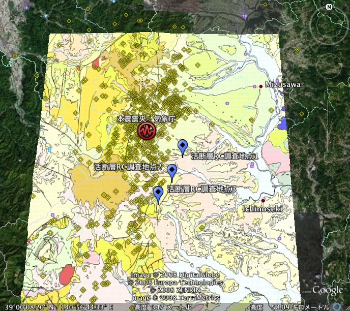
(Survey Spot on Google Eearth)
Earthquake Geo-Information on Google Earth
・Epicenter on
Seamless Geological Map (1: 200000)
→Homepage of Google Earth is here
Research Results & Other Informations
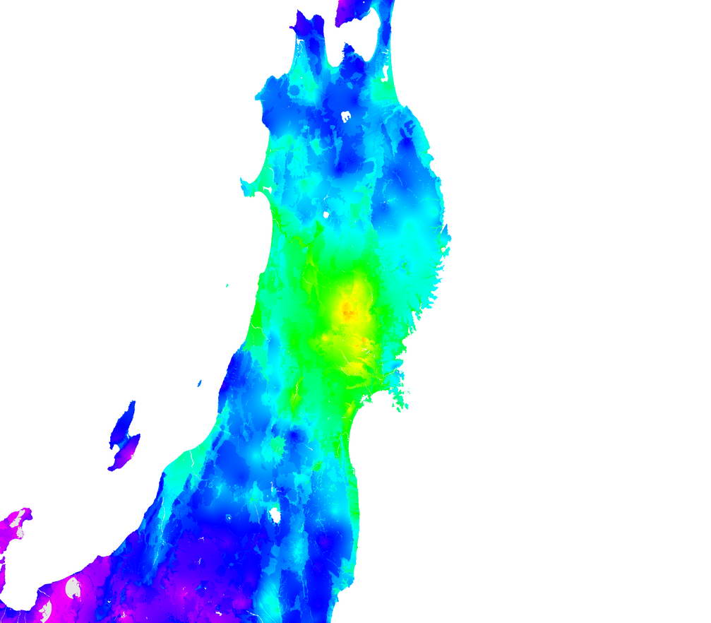
Estimated high-resolution PGV Map of Shock Waves
(from Dr. Matsuoka's homepage)
PGV:Peak Ground Velocity
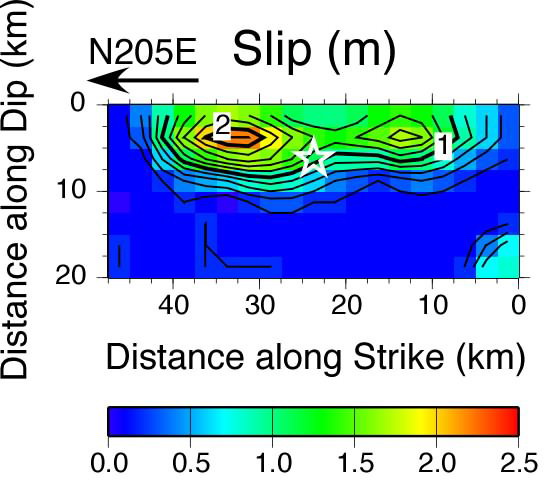
Fault Model from Dr.Horikawa(Japanese only)
Gravity Anomaries near Epicenter
(from Geophysical Map Group)
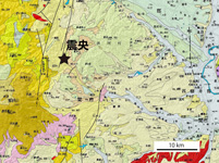
Geological Map
Geological Map around Epicenter
Geology around landslideareas
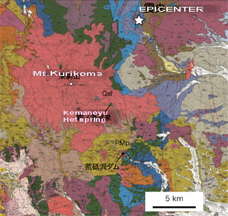 (based on 1:100000 Geological Map of Kurikoma Geothermal Area) (based on 1:100000 Geological Map of Kurikoma Geothermal Area)
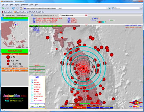
The Position of Epicenter on the Geohazard Map of East &siutheast Asiaa
DATABASE
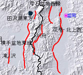
:Active Fault in Japan (RIO-DB)
(RIO-DB is AIST Public Database Sysytem
|