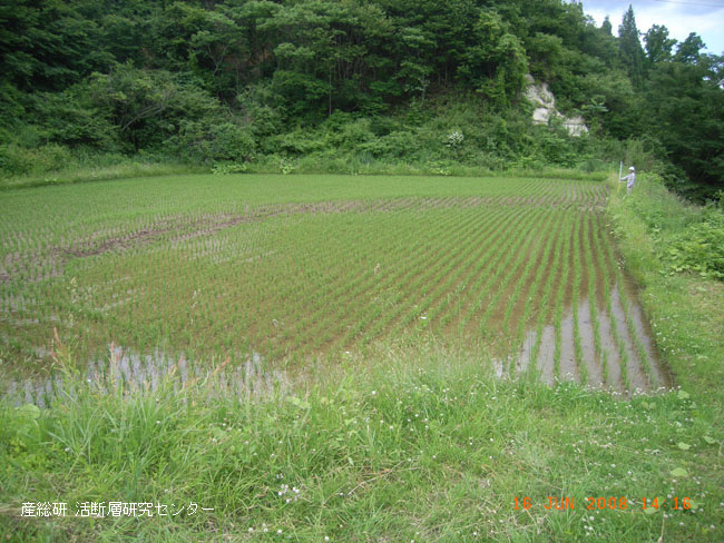
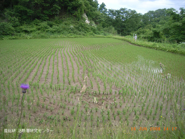
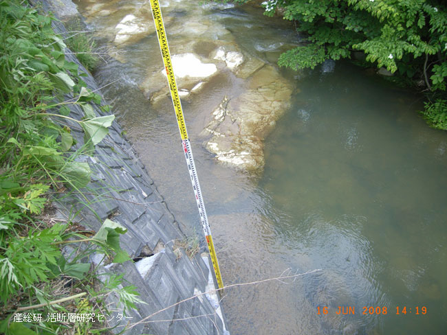
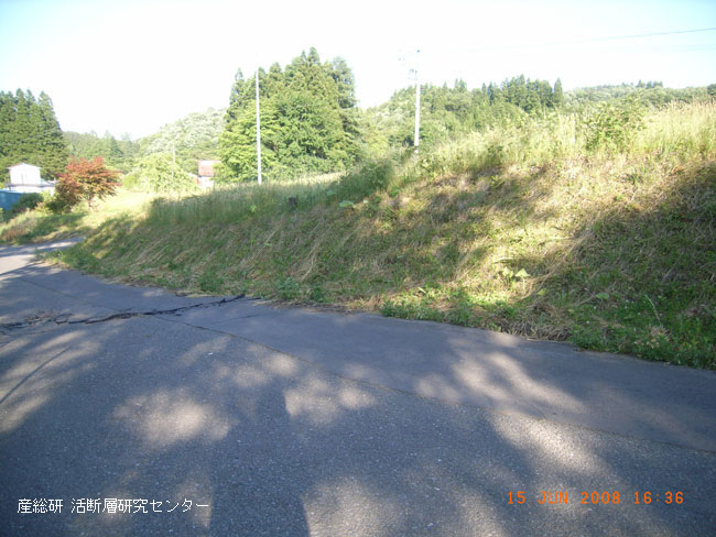
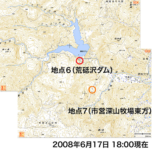
The Field Survey Teams of the Active Fault Research Center (AFRC), AIST,
have been carring out the field survey at the surround area about the epicenter
of the Iwate-Miyagi Inland earthquake(M7.2) which had occered on 14 June
2008.
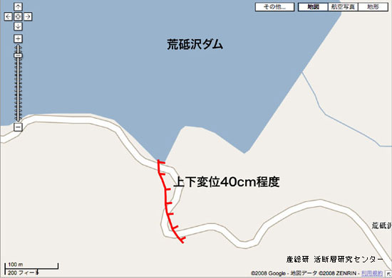
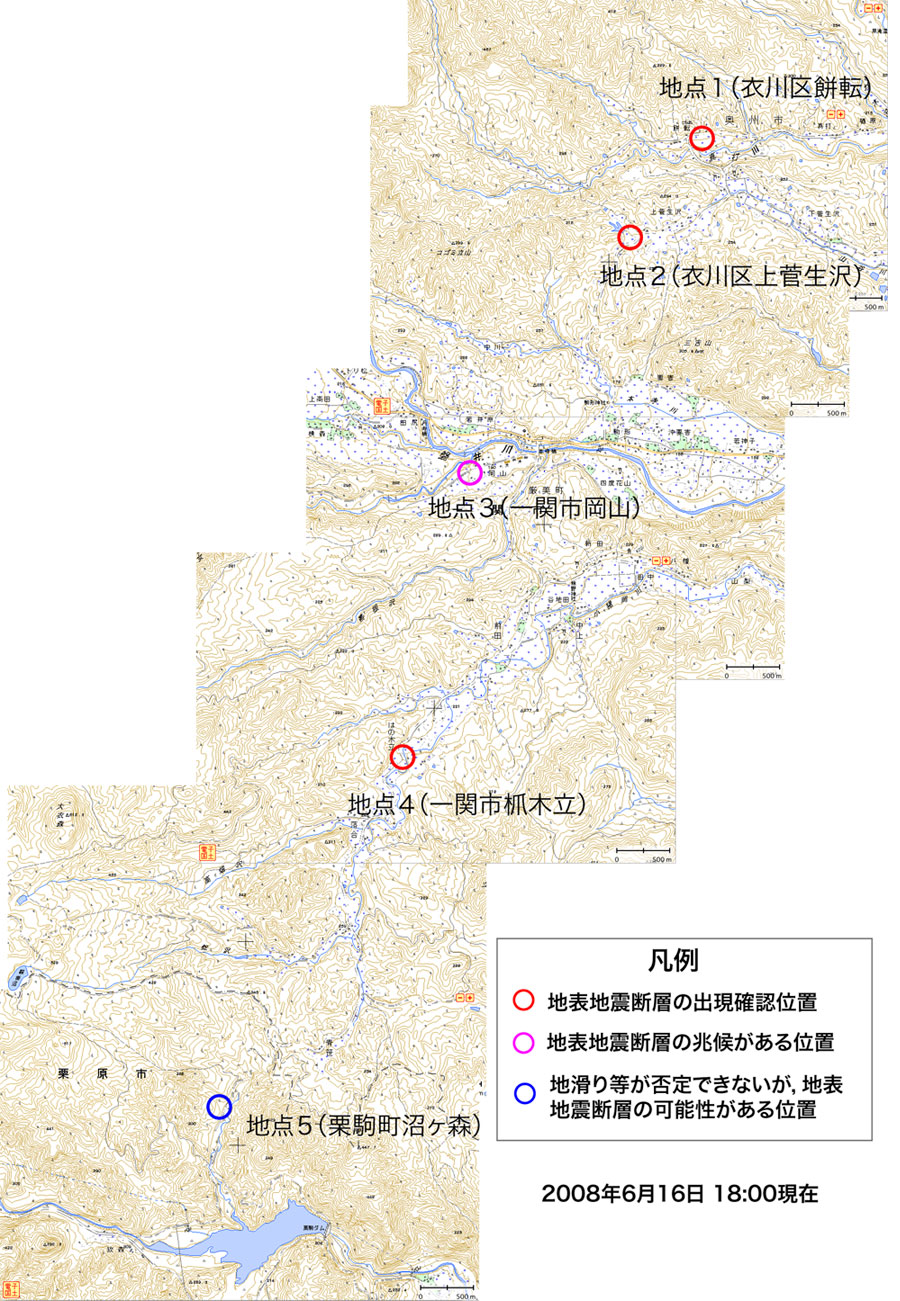
The Team found several surface deformations which has some possibilities
for active faults related with the Earthquake in this time.
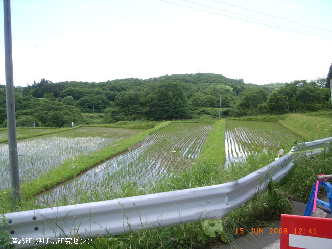
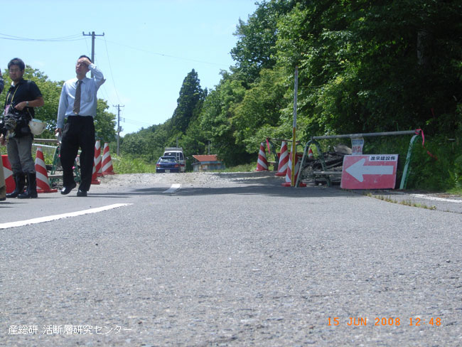
We just show the several photos here from the survey team.
This report have some possibility for revising or changing on final results
and detail reports will be published near future.
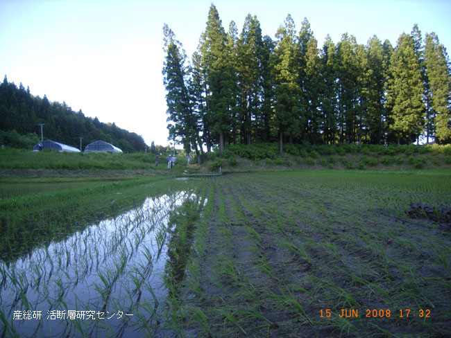
Photo:Western Eastward
Team Staffs: S.Toda, T.Maruyama & M.Yoshimi
