 | |
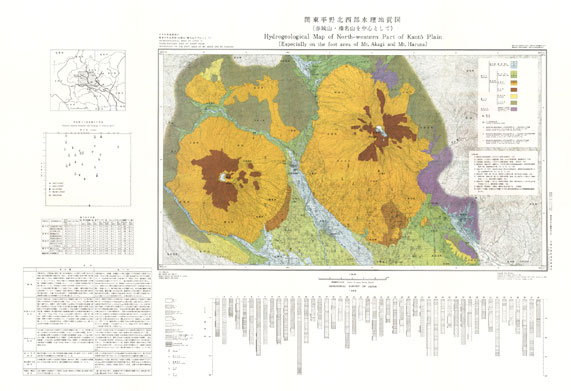
| Series | Hydrogeological Maps of Japan |
| No. | 10 |
| Map Name | North-Western Part of Kanto Plain (Especially on the foot area of Mt. Haruna) |
| Scale | 1:100,000 |
| Author | OZAKI Tsugio |
| Publish Year | 1966 |
| Publisher | Geological Survey of Japan, AIST |
| Price | out of stock |
| Prefecture | |
| Download | Raster data (JPEG / 200dpi) |